-
-
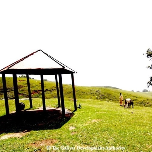
 Paradise Point: Paradise point is located near Church, where you can visit top peaks of Nathia Gali and entire Khankalan and Khankhurd area. Green Spot: Another beautiful Spot which is actually part of PAF base Kalabagh. Only families are allowed to enter. Topa Khan Kalan Bakote: This Topa Khan Kalan Bakote is 5 km away from Nathia Gali Paradise Point, its beautiful view of Azad Kashmir and base camp of Miranjani Top. Its metaled road and just take 10 minutes from Nathia Gali. Grang Kass (Water Stream), Dayar Sari: This is a beautiful Natural water stream and lush green forest spot at Ntajia Gali to Bakote road 5km away from Governor House Nathia Gali. Its also a foothill of Mukshpuri and best for 4 wheel drive and hiking. Bakote Molia Water Fall (Sangum Abbashar): A beautiful water fall, Bakote Molia namely Karlan, its is merger of two beautiful and eye catching view of Bakote and Azad Kashmir. 15 km from Nathia Gali and 5 km from Kohala bridge. Nelam-Jelum River Kanar Kass Point Kohala (Bakote, distt. Abbottabad): A best tourist spot known as Nelum View Point, its also merger of river Jelum and Kanar Kass, 5 km from Bakote and 15 km from Nathia Gali. Its also a gateway to Azad Kashmir through Kohala bridge. Those who traveling from Murree its only 34 km away.
 -
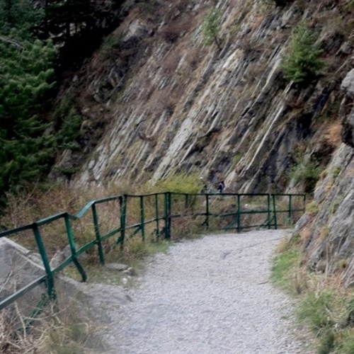
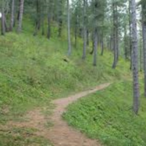
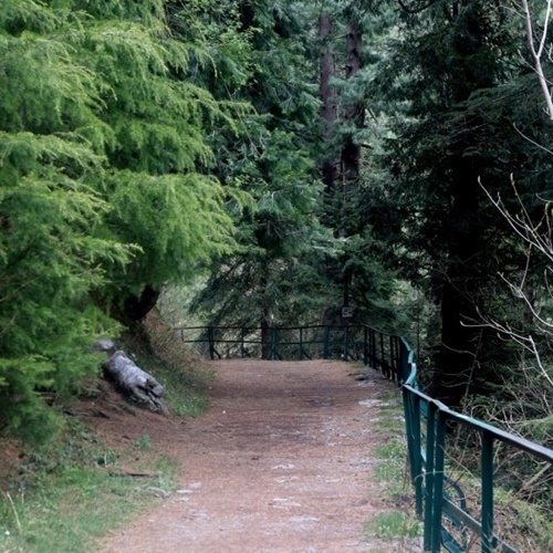 Dungan Gali pipeline track follows the pipeline from Donga Gali to Ayubia,a distance of 3.5 kilometers, very easy walking track and takes 40 to 50 minutes having altitude around 8,200 ft. You are urged to capture unforgettable memories, natural beauty and charming weather enjoying nature miracles like rain, sunshine, fog, and clouds in a single moment. The most commonly seen birds are the Yellow Beaked Magpie, Red Blood and Yellow Body Finches, White Cheek or Crested Grey Finch and many other birds. During British rule Dunga Gali hill station served as a sanatorium and contained a hotel, post office and a small church. The area was visited by Europeans during summer also.
 -
 This is longest and most beautiful trek of Galiyat. Also known as Dugri Trek, this is a sequel of Meranjani Top trek. Dugri is one of the most dense pine forest reserve in Galiyat and is know by the name (home of Leapords) as the place is quite isolated from the populated road access areas in Galiyat. The popular places on this trek are Meranjani Top, Dugri and Beran Gali. The trekkers can start from Nathia Gali reach Meranjani Top using any of the two available treks and continue trekking through the forest towards Dugri rest house (bungalow) which could be seen clearly from Meranajani Top. It is one full day trekking (approximately 13.5 km) via Meranjani trek staring from governor house Nathia Gali to reach Dugri rest house. From Dugri rest house it is another 6 to 8 hours of trekking (approximately 13 km) to reach Beran Gali and then 4-6 hours of trekking (approximately 10 km) from Beran Gali to reach Nathia Gali. Total trekking takes two day and one night to reach Thandiani. This trek is only advisable for pople with some good exprience of trekking and camping. This is a hard and long trek and water is not available on the trek so it is recommended to take good amount of water on trek. Starting walk at 0800 hours is advisable in day light. It is also advised not to go outside the rest house after sunset. You can take along some cooked food. Tablets of fever, headache and digestive pills must be taken along.
 -
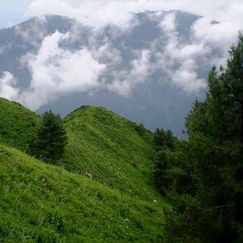
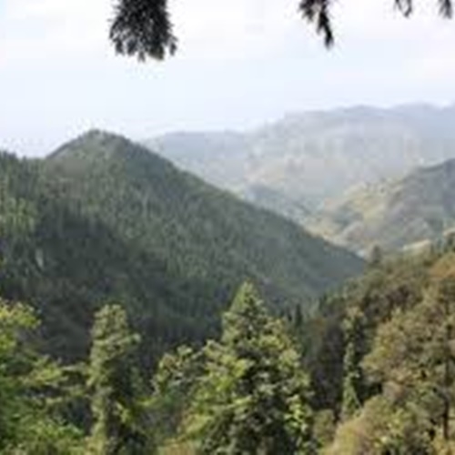
 Meranjani is the highest hill of Galiyat at 9816feet above sea level approximately. Two treks to the Meranjani Hill Top starts from the same point in Nathia Gali near down and the below famous Governor House, one of the beautiful English rule establishments in Galiyat. One trek takes you in semi-circle around Meranjani slowly ascending towards the top through a hill village Namlimera, displaying the style of a hill village culture. This is a very easy and safe trek for families venturing to the top, however it takes a little longer time. The second takes you spirally up through the low ascending hills in the forest towards the top. This trek is little hard as you gain height at every step and almost at the angle of 60 to 65 degrees near the top as you start the last stretch of the trek. This trek is suitable for young ones above 12 years of age and adults up to 45 years with sound health. There is no water available on this trek so one must take water.
 -
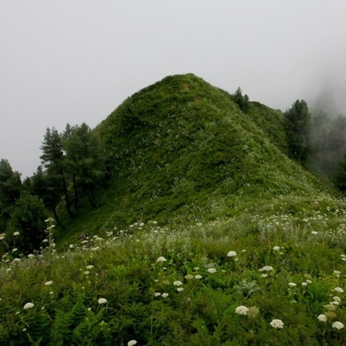
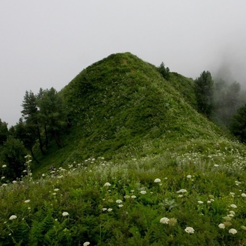
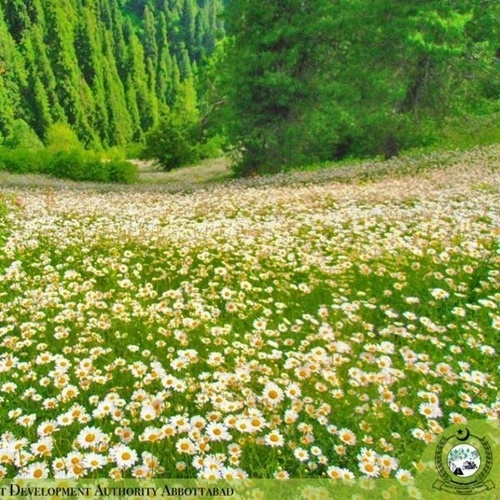 This is a 3 hours safe hill trek to Mushkpuri Top and is the second highest hill of Galiyat at 9452 feet/3150 meters above sea level approximately. This trek starts from the Pines Hotel in Nathigali spiraling upwards through the beautiful green pine forest displaying natural beauty. Hikers on their way to Mushkpuri top are presented with colorful fairy fragmented carpet of flowers in the green Meadows of Mushkpuri.(especially at the end of the rainy season). Another trek descends to the other side towards Dunga Gali giving you the bird eye view of Ayubia National Park down below, this trek is not advisable for for people with fear of height the park starts from Dunga Gali and extend towards the river Jehlum. The trek up to Mushkpuri Top can also be started from Dunga Gali. It’s a good trek for the families to go out and enjoy the beautiful natural pine forest of galyat. There is a very small water spring at the top. Also you can see scenic Kashmir valley from Mushkpuri Top
 -
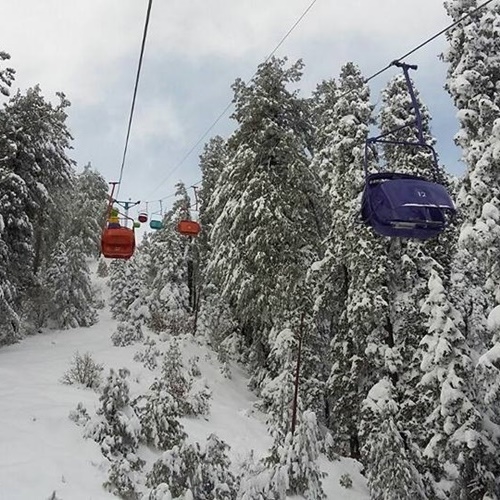
 Ayubia hills station is located in Abbottabad District, Khyber Pakhtunkhwa province, northern Pakistan. In 1984, Ayubia was declared a national park and later on it was named “Ayubia National Park” by the name of Pakistan’s late president Muhammad Ayub Khan. Ayubia is a beautiful place in the world due to natural beauty and ideal weather. Ayubia is one of the places in Pakistan to visit, and have full tourists attractions.
Call Us Today! 1.555.555.555|info@yourdomain.com